CShapes
Description
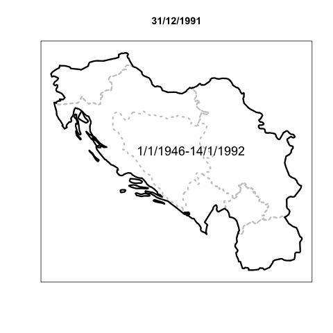
CShapes is a new dataset that provides historical maps of state boundaries and capitals in the post-World War II period. The dataset is coded according to both the Correlates of War and the Gleditsch and Ward (1999) state lists, and is therefore compatible with a great number of existing databases in the discipline. Provided in a geographic data format, CShapes can be used directly with standard GIS software, allowing a wide range of spatial computations. In addition, we supply a CShapes package for the R statistical toolkit. This package enables researchers without GIS skills to perform various useful operations on the GIS maps.
Version
See the change log for the current version number and a list of revisions.
R PackageClick here to find out how to install the cshapes R package and use it for computing country distance matrices etc. |
GIS Vector DatasetClick here to access the dataset in shapefile format for use with GIS software, or for animation with Google Earth. |
License

CShapes by Nils B. Weidmann, Kristian Skrede Gleditsch is licensed under a Creative Commons Attribution-NonCommercial-ShareAlike 4.0 International License.
Citation
If you use CShapes for your own work, please cite
Weidmann, Nils B., Doreen Kuse, and Kristian Skrede Gleditsch. 2010. The Geography of the International System: The CShapes Dataset. International Interactions 36 (1).
Collaborators
Kristian Skrede Gleditsch, University of Essex
Doreen Kuse, Dresden Technical University